
Rough Start for Winter Wheat: Just 35% Rated Good to Excellent
April 7, 2026
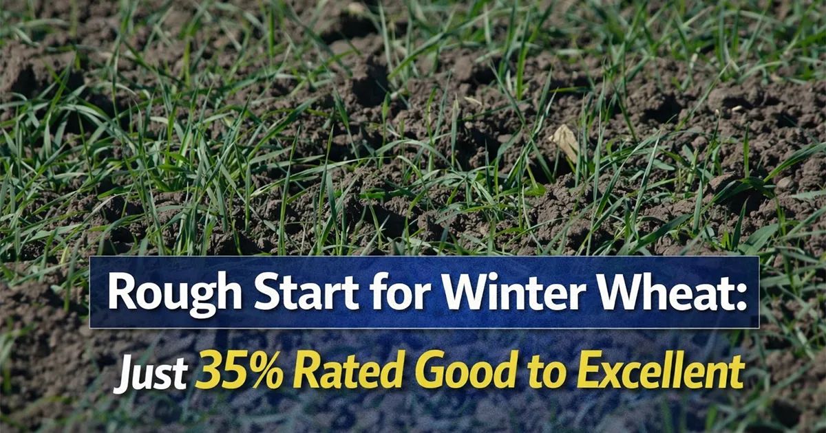
The nation's winter wheat crop is starting the 2026 growing season in worse shape than last year's crop, according to USDA NASS's weekly Crop Progress report released on Monday.
NASS estimated U.S. winter wheat condition at 35% good to excellent, 13 points below 48% at the same time last year, amid widespread drought in the Central and Southern Plains, according to DTN Lead Analyst Rhett Montgomery.
WINTER WHEAT
-- Crop condition: An estimated 31% of winter wheat was rated poor to very poor as of April 5, up from 21% a year ago, according to NASS. Oklahoma had the highest very-poor-to-poor rating at 54%. It was followed by Texas with a 51% very-poor-to-poor rating and Colorado with a 49% very-poor-to-poor rating. Top winter-wheat-producer Kansas' crop was rated 38% good to excellent, 38% fair and 24% very poor to poor. Washington's crop was rated 86% good to excellent.
-- Crop development: 7% of winter wheat was headed nationwide as of Sunday. That's 2 percentage points ahead of last year's 5% and equal to the five-year average. Texas' winter wheat was 30% headed, 7 points ahead of last year's 23% and 5 points ahead of the state's average pace of 25%.
CORN
-- Planting progress: 3% of corn was planted nationwide as of Sunday, 1 point ahead of 2% last year and equal to the five-year average. "It's very close to the expected national pace for early April, with Texas leading the way at 59% complete," Montgomery said.
SPRING WHEAT
-- Planting progress: 2% of the crop was planted nationwide as of April 5, 1 point behind last year's 3% and equal to the five-year average. Idaho's crop was 18% planted, equal to last year's pace but 4 points ahead of the five-year average of 14%. Washington's crop was 12% planted, 1 point ahead of last year but 5 points behind the five-year average of 17%.
THE WEEK AHEAD IN WEATHER
Widespread rain last week offered drought relief across much of the country, but the weather pattern will remain active in the week ahead after a few colder and drier days, according to DTN Ag Meteorologist John Baranick.
"Last week's rain was significant for a large portion of the middle of the country," Baranick said. "It may have made it hard to go out and work the fields in some areas, but it certainly improved soil moisture and drought conditions. And really, it's the drought that is getting a lot of the headlines as we move into April and planting season. Southern areas are already starting as soil temperatures have come up above the magical 50-degree mark, but that will soon be moving northward throughout the month.
"This week, after a couple of colder and drier days, we'll see temperatures rising and the pattern getting a bit more active again. A system will move along the Canadian border on Wednesday and Thursday and that will leave a front across the Central Plains starting on Thursday. Batches of showers and thunderstorms are forecast to develop along that front before it pushes northward with some warmer air this weekend. In addition, a larger upper-level low pressure system will move into the Southwest and bring some disturbances into the Plains starting this weekend and going at least into early next week. That should bring some chances for widespread showers and thunderstorms for some of the worst drought areas in the country and improve conditions for hard red winter wheat. Other extremely dry areas across the Delta and Southeast will be much drier this week and miss out on a lot of the activity farther north and west. Though they had some good rainfall this past weekend, drier conditions this week will not be favorable for planting, and some folks may wait for more rain to begin planting."
Source: DTN


